
Showing posts with label windmills. Show all posts
Showing posts with label windmills. Show all posts
Tuesday, 4 December 2018


Tuesday, 4 September 2018
Red Windmills at Störlinge, Öland
Road Trip 2018, Part 13

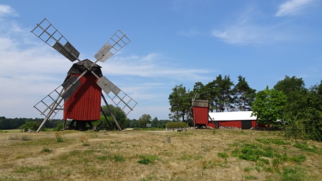


There are seven windmills at Störlinge, but not all so close to one another that it was possible to get them all into one photo…
Linking to:
Sunday, 26 August 2018
Windmills at Lerkaka, Öland
Road Trip 2018, Part 11
Back in the 19th century there were about 2000 windmills on Öland. At Lerkaka* on the east side of the island, you can still see a typical row of old wooden mills alongside the road.


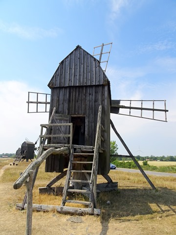

Interestingly, across the road you can also see the modern kind of windmills:


There is also an old rune stone here. The text is supposed to read something like this:
“Olof and Gammal and Saxe raised this stone after Unn, their father. Geirvi had the monument made for her husband. Olof took revenge for Unn the Rich at [miomu]; Unn owned half the village here.”
*Lerkaka, by the way – the name of the village – means “slab of clay”! (Perhaps easier to understand on wet day?)

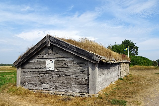
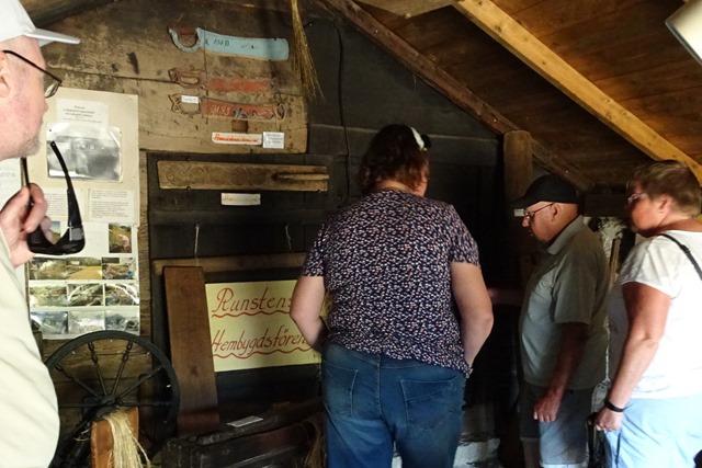
There is also an old workshop here, where the women in the village used to get together to process flax into fibres, and the fibres into yarn etc. July being a busy tourist season, there was a guide from the local history society in place to explain the basics to visitors.
They also had some cards and souvenirs for sale; and I could not resist buying two table place mats:
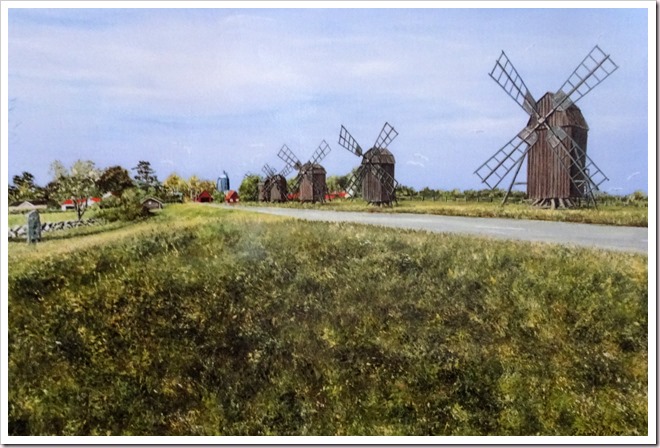
One showing the windmills in this very spot; and the other a lighthouse.

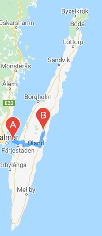
There is one lighthouse at each end of Öland (north and south, and the distance between them is around 150 km). (The one on my place mat is from the south.) We didn’t go to neither the north nor the south end of the island on this trip, though, but kept to the middle. From the bridge [A] over to the east coast first – Lerkaka is at [B] on the map below. Then up a bit and crossing back over to Borgholm on the west coast: and from there back down along the west side to Färjestaden. Not very long driving distances; but plenty more to see yet, before the end of the day!
Back in the 19th century there were about 2000 windmills on Öland. At Lerkaka* on the east side of the island, you can still see a typical row of old wooden mills alongside the road.
Interestingly, across the road you can also see the modern kind of windmills:
There is also an old rune stone here. The text is supposed to read something like this:
“Olof and Gammal and Saxe raised this stone after Unn, their father. Geirvi had the monument made for her husband. Olof took revenge for Unn the Rich at [miomu]; Unn owned half the village here.”
*Lerkaka, by the way – the name of the village – means “slab of clay”! (Perhaps easier to understand on wet day?)
There is also an old workshop here, where the women in the village used to get together to process flax into fibres, and the fibres into yarn etc. July being a busy tourist season, there was a guide from the local history society in place to explain the basics to visitors.
They also had some cards and souvenirs for sale; and I could not resist buying two table place mats:
One showing the windmills in this very spot; and the other a lighthouse.
There is one lighthouse at each end of Öland (north and south, and the distance between them is around 150 km). (The one on my place mat is from the south.) We didn’t go to neither the north nor the south end of the island on this trip, though, but kept to the middle. From the bridge [A] over to the east coast first – Lerkaka is at [B] on the map below. Then up a bit and crossing back over to Borgholm on the west coast: and from there back down along the west side to Färjestaden. Not very long driving distances; but plenty more to see yet, before the end of the day!
Subscribe to:
Posts (Atom)
